Orca Discusses UXO Field Management at 2017 Esri Ocean GIS Forum
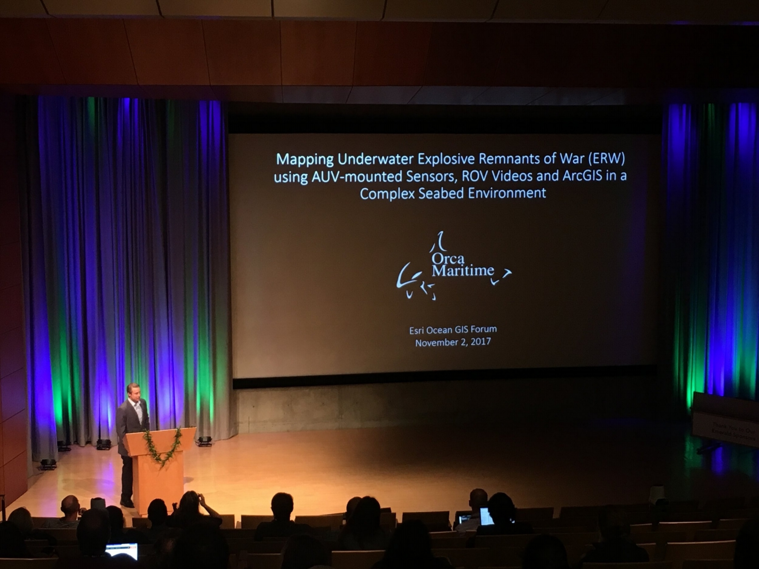
Orca Maritime Inc. was invited to speak at the Esri Headquarters during the 2017 Esri Ocean GIS Forum in Redlands, CA. The Esri Ocean GIS Forum is the world's largest GIS conference focused on ocean applications. During the final technical session, Geospatial Tech Lead Nate Novak presented recent work entitled “Mapping Underwater Explosive Remnants of War (ERW) using AUV-mounted Sensors, ROV videos and ArcGIS in a Complex Seabed Environment”.
The use of Autonomous Underwater Vehicles (AUVs), Remotely Operated Vehicles (ROVs) and Esri ArcGIS have improved project tracking and management efficiencies. After a recent AUV survey, Esri ArcGIS tools were used to geospatially consolidate magnetic signatures, side scan sonar imagery, bathymetry, video and spatially referenced diagrams, providing an accurate underwater map of the UXO field.
Orca Maritime Inc. is part of the Esri Business Partner Network and is an active member of the Esri Seaport-enhanced team.


